
Official websites use .gov
A .gov website belongs to an official government organization in the United States.
Secure .gov websites use HTTPS
A lock (
) or https:// means you’ve safely connected to the .gov website. Share sensitive information only on official, secure websites.
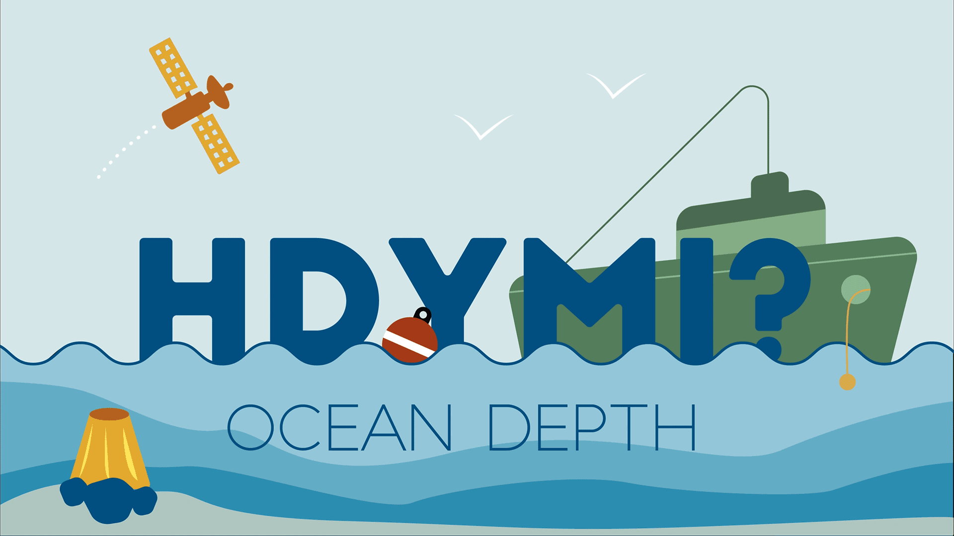
How Do You Measure the Depth of the Ocean?
If you’ve seen Jaws, The Meg or any deep-sea thriller, then you’ve seen some of the scariest ocean creatures humans have imagined.
But many of those creatures were in fact real, like the megalodon — a prehistoric shark that could be the size of a school bus! We don’t know how deep they lived in the ocean. However, thanks to modern technology we can say that present-day sharks are commonly found at depths of around 2,000 meters (6,500 feet). But how do we know this?
In this installment of “How Do You Measure It?,” we will be looking at the methods scientists and researchers use to accurately measure the depth of the ocean.
Much like the land’s surface with mountains and hills, the ocean floor or seabed isn’t completely flat. There are flat surfaces, but there are all sorts of underwater landforms such as canyons, trenches and underwater volcanoes.
The average depth of the ocean is 3,700 meters (12,100 feet). But the deepest part ever recorded is located in the western part of the Pacific Ocean, in the Mariana Trench, at a depth of around 11,000 meters (36,200 feet).
Bathymetry is the scientific term for measuring the depth of water in oceans, lakes and rivers. Bathymetric maps are similar to land maps in that they show the different underwater landforms in a specific area. Scientists and researchers can use different methods to measure ocean depth.
Let’s take a look at these different methods:
1. Sonar
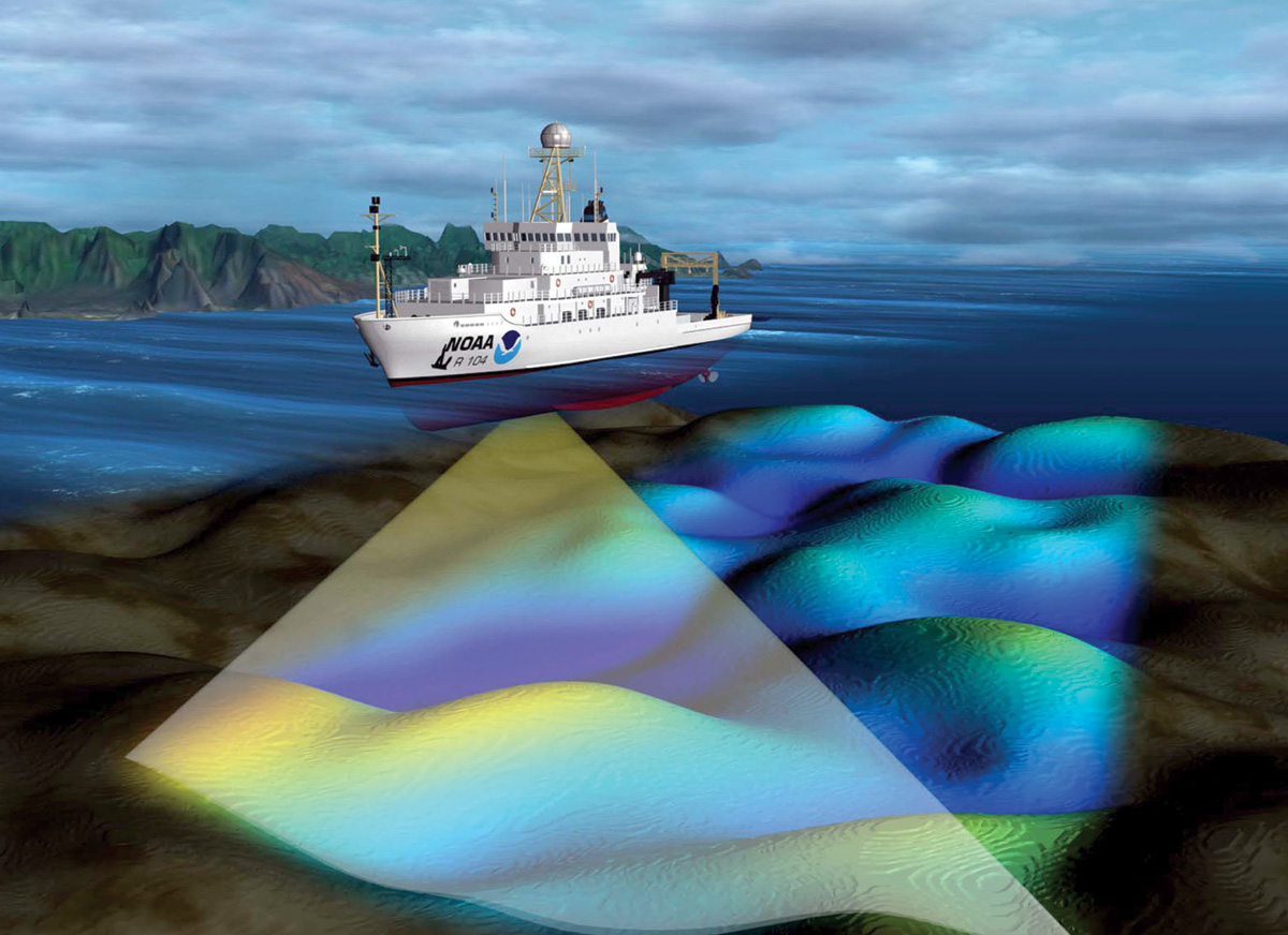
The most common and fastest way of measuring ocean depth uses sound. Ships using technology called sonar, which stands for sound navigation and ranging, can map the topography of the ocean floor. The device sends sound waves to the bottom of the ocean and measures how long it takes for an echo to return. The “echo” is the sound wave reflecting off the seabed and returning to the sonar device.
Multibeam echosounders (MBEs), a type of sonar that sends out rapid sound waves in a fanlike formation to scan the bottom of the ocean floor, are used by the National Oceanic and Atmospheric Association (NOAA) to measure the depth of the ocean. Ships using sonar move back and forth in a gridlike formation to map out specific areas of the ocean floor.
2. Radar and satellite
Another alternative, though not as fast as sonar, is radar. Similar to sonar, radar requires sending out a type of wave that pings off an object and reflects back. The difference is that radar uses radio waves, a form of electromagnetic wave. But because electromagnetic waves travel slower in water compared with air and become diminished as they travel through water, they are more ideal for atmospheric measurements.
However, there is another method that combines radar with satellite as a way to measure ocean depth. A radar altimeter is a device that measures the distance from land to air by timing how long it takes for radio waves to reflect from the surface back to a satellite. The surface of the ocean, which bulges outward and inward in ways difficult for our eyes to recognize, resembles the topography of the ocean floor, and so the radar altimeter can be used against the ocean surface to measure ocean depth. Researchers can use the data obtained from a radar altimeter to map parts of the ocean, and the technique has even been used on spacecraft such as those studying the surface of Venus.
Despite the advantages of using sonar to measure ocean depth, it takes a very long time for a ship to map a section of the ocean floor. It would take almost 125 years to fully map the sea floor, which is why only a fraction of the world’s oceans have been mapped. But because the ocean surface mimics the topography of the ocean floor, it’s already well known what the seabed looks like.
But that doesn’t diminish the importance of measuring the depth of the ocean and the applications that come from such data. Scientists have been able to discover various life forms living in the deep — like the ninja lanternshark — as well as use the data toward specific applications like navigation, creating nautical maps and even furthering research efforts in environmental conservation.
Thanks to the advances in technology, we have methods to measure ocean depth and learn more about the creatures living in the sea as well as expand our knowledge of the ocean and our impact on it.
Ocean Depth Measured in the Olden Days
Before the discovery of using sound and radar to measure ocean depth, captains and their crews used a different way to measure the depth of the ocean. Sailors would use a tool called a lead line, which was essentially a lead weight attached to a rope that is marked every 6 feet, a length called a fathom, with a rag or strip of leather. A crew member would then throw the line into the water, and once the lead weight reached the bottom the sailor would measure and record the distance to the ocean floor using the strips on the rope.
The lead line was the most valuable method of measuring depth for navigation and has been used since the fifth century BCE. The tool helped sailors know how deep the water was and if their ship would run aground. The bottom of the lead weight was cupped inward and filled with grease and was used to bring up samples from the ocean floor to help sailors determine if the ocean bed was sand, gravel or mud.